|
Early Land Grants & Maps
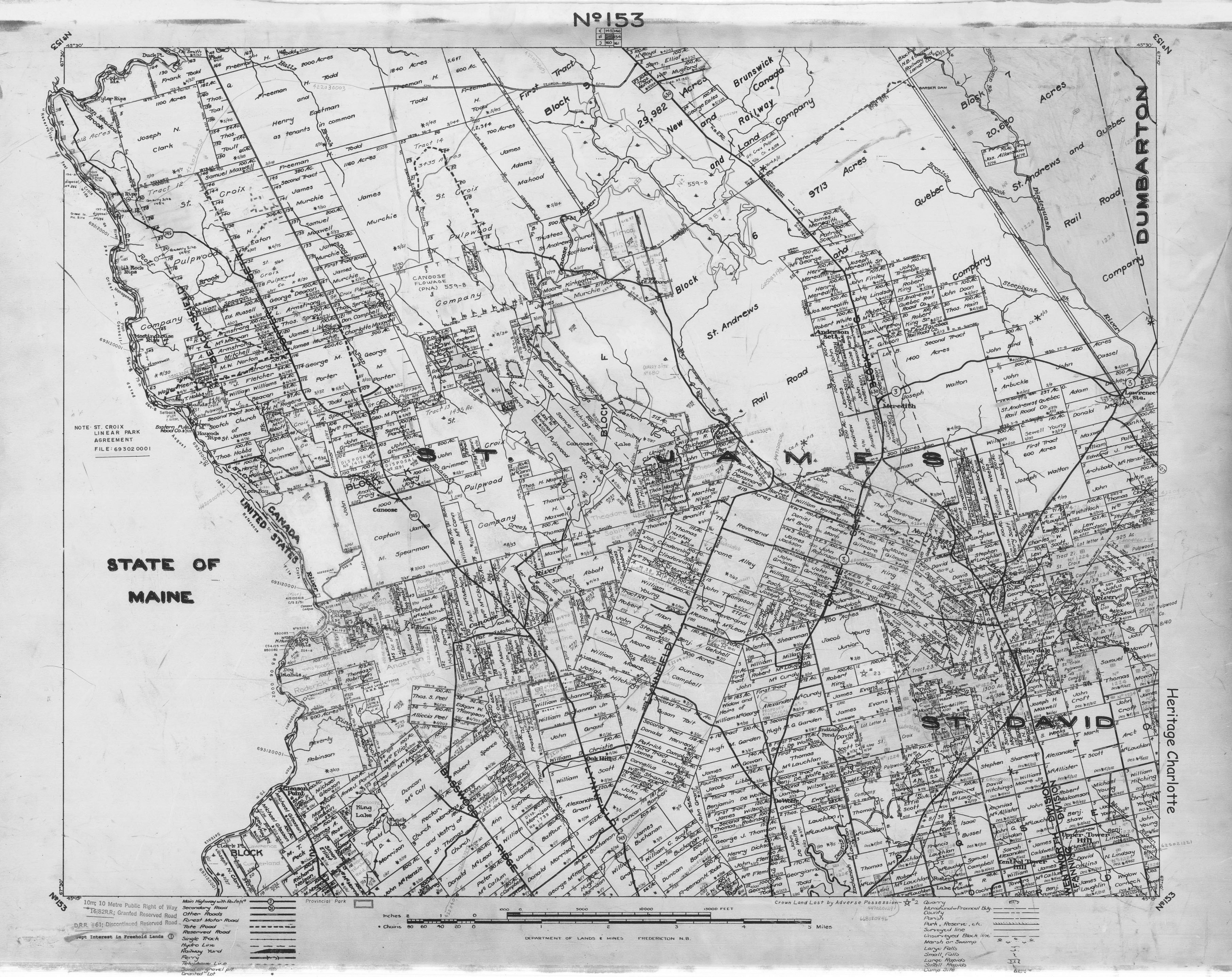
Map No. 153
St. James, St. David, Basswood, Lynnfield, Tower Hill, Honeydale
|
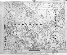
Map No. 154
Dumbarton, Pleasant Ridge, Rollingdam, Whitter Ridge
|
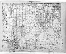
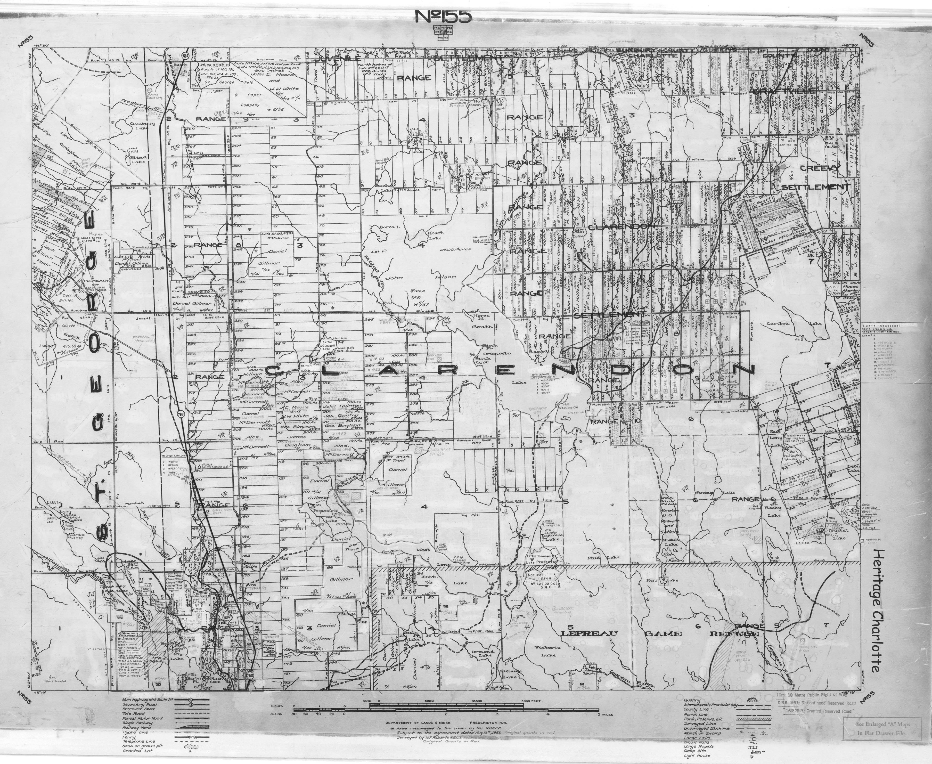
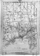
Map No. 155
Clarendon
|
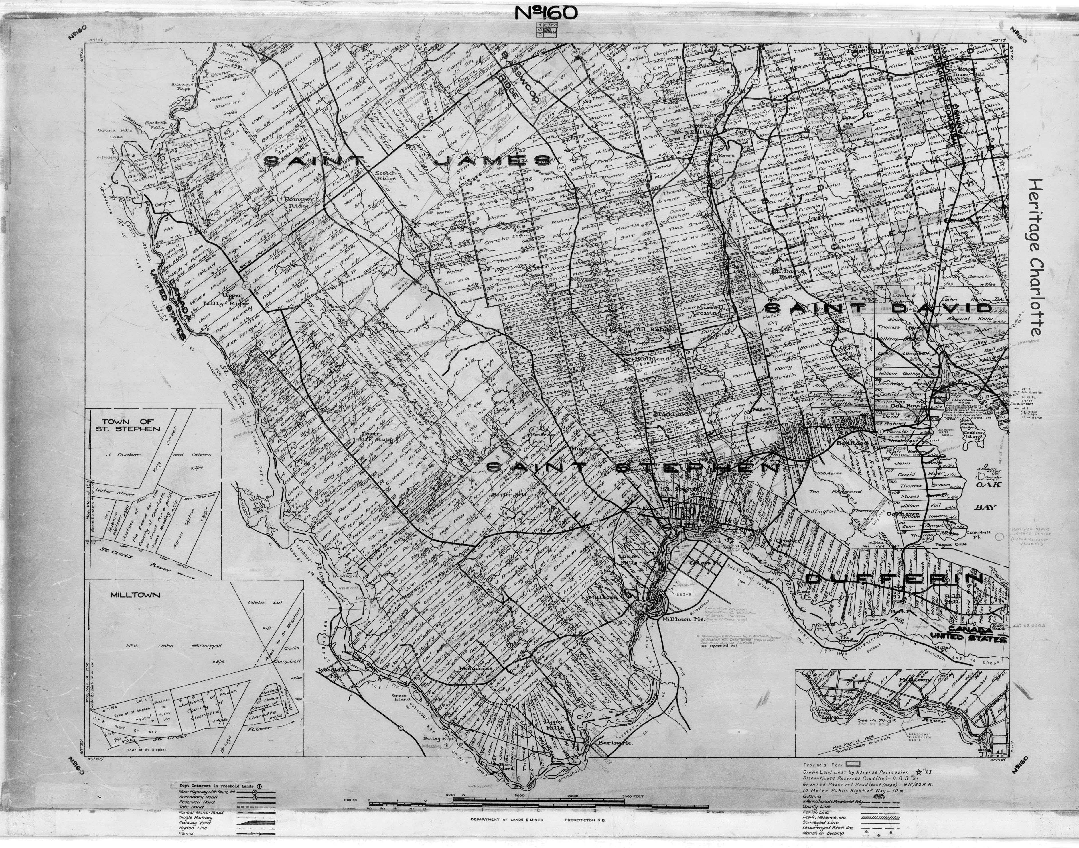
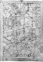
Map No. 160
St. Stephen, Dufferin, Oak Bay, Moores Mills
|

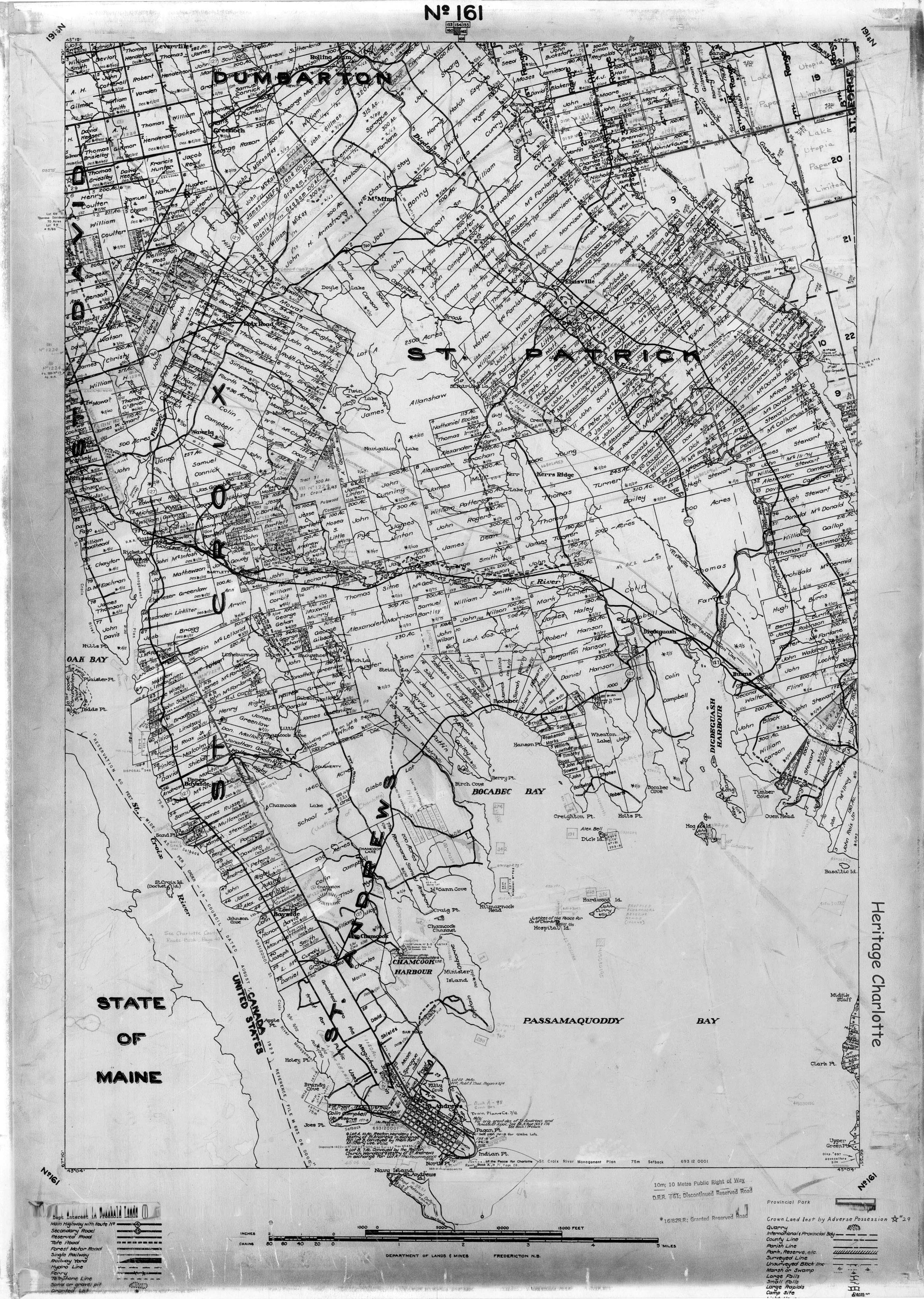
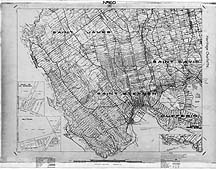
Map No. 161
St. Andrews, Bayside, St. Patrick, Chamcook, Bocobec, Elmsville
|
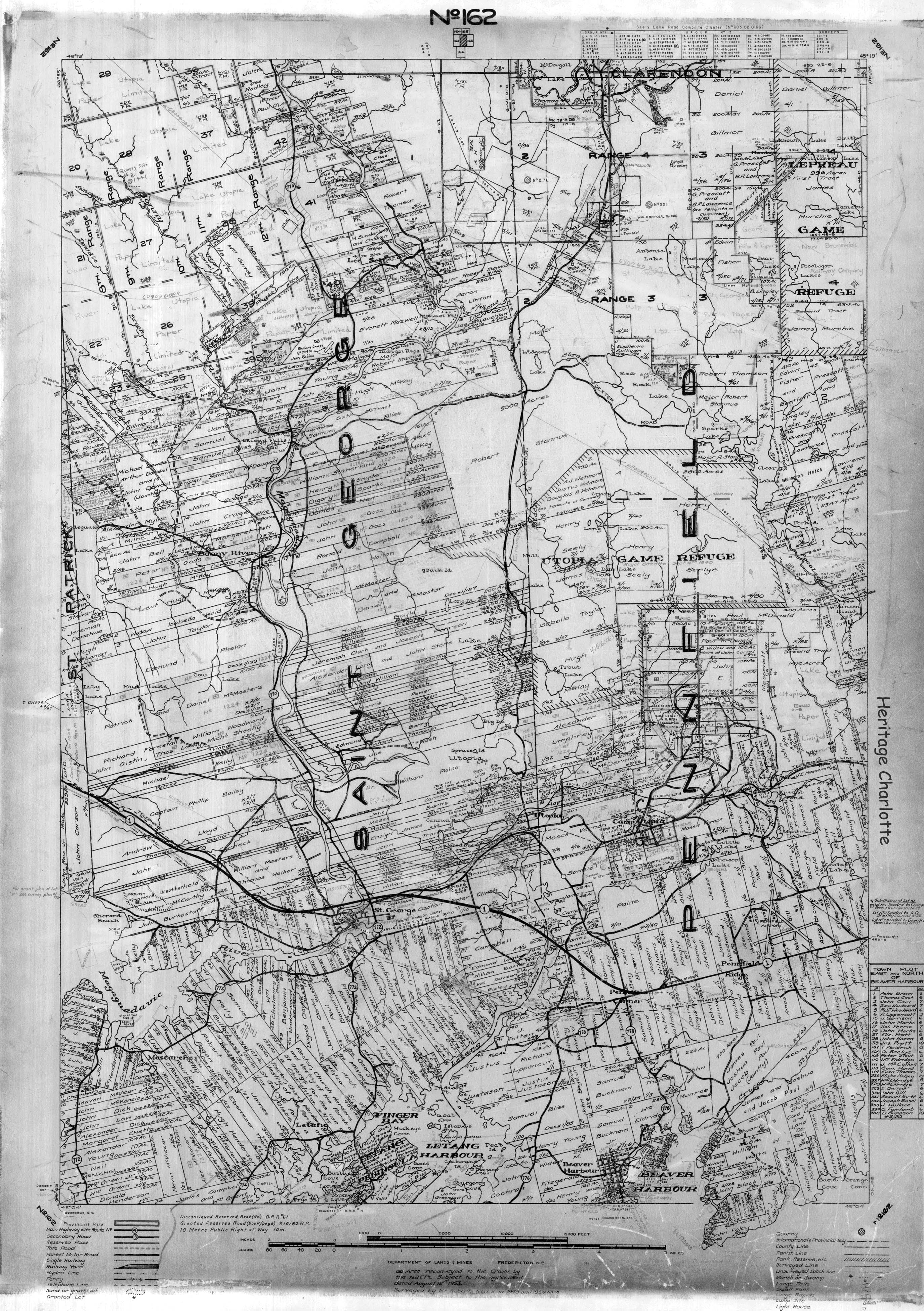
Map No. 162
St. George, Mascarene, Bonny River, Second Falls, Elmcroft, Utopia, Pennfield
|
Map No. 163
Seely's Cove, Pocologan, New River, Lepreau, Dipper Harbour
|
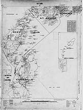
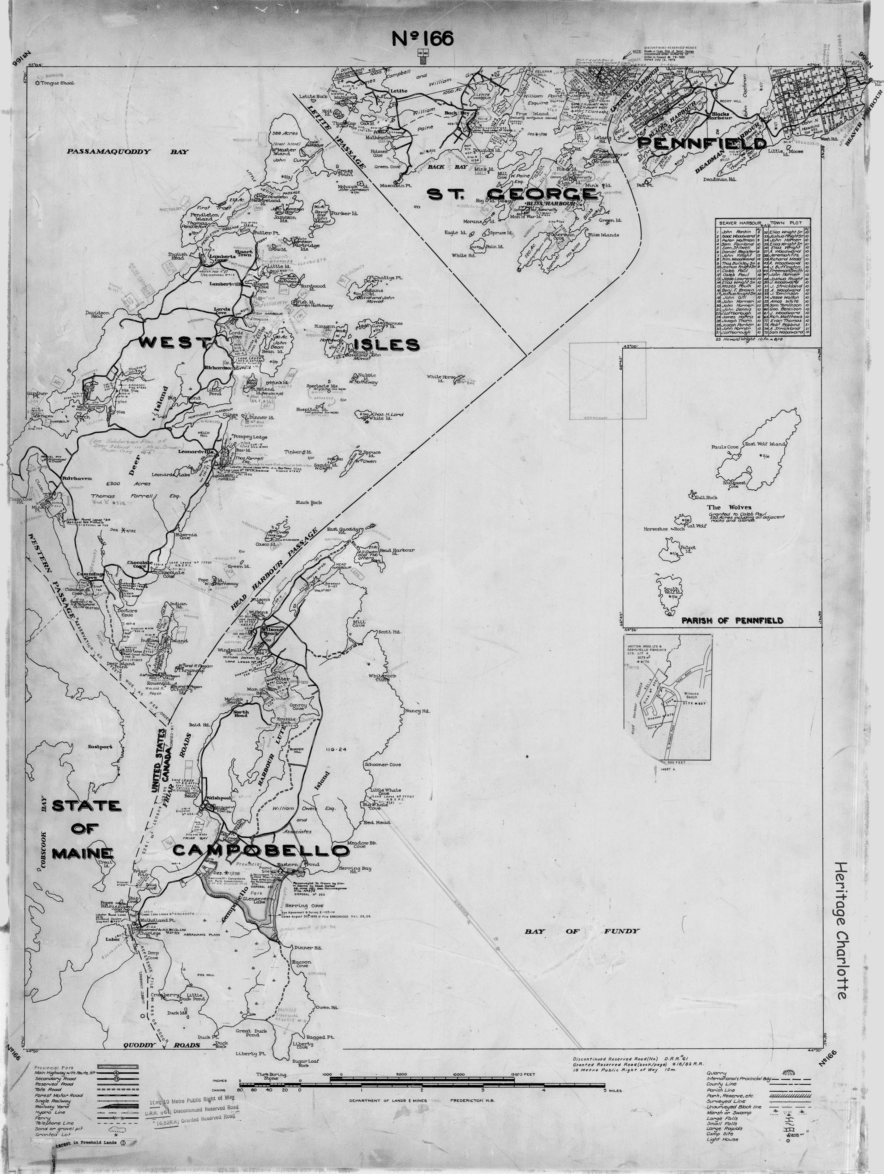
Map No. 166
Back Bay, Pennfield, Blacks Harbour, Beaver Harbour, Deer Island, Campobello Island
|
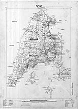
Map No. 167
Grand Manan Island
|

Copyright ©2006-2021 Heritage Charlotte, Inc. All rights reserved | Email: contact@heritagecharlotte.com
|